When we view data, sometimes we notice contamination and changes in data, especially further out along the edges of the radar’s vision. Some of those gaps don’t overlap, creating radar holes.
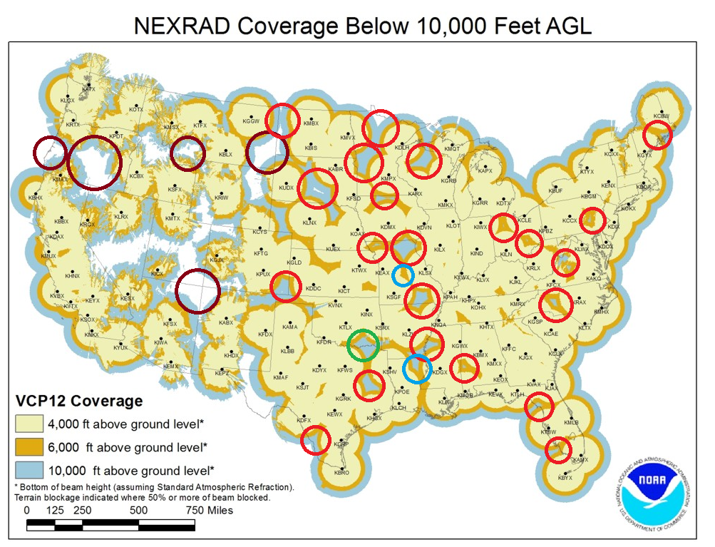
See those colored circles? That’s a radar hole, where there is very limited or negligible radar coverage.
Radar holes can be extremely dangerous and potentially serious. If radars cannot detect a tornado producing storm, or serious changes in intensity, it may go undetected and not get a warning.
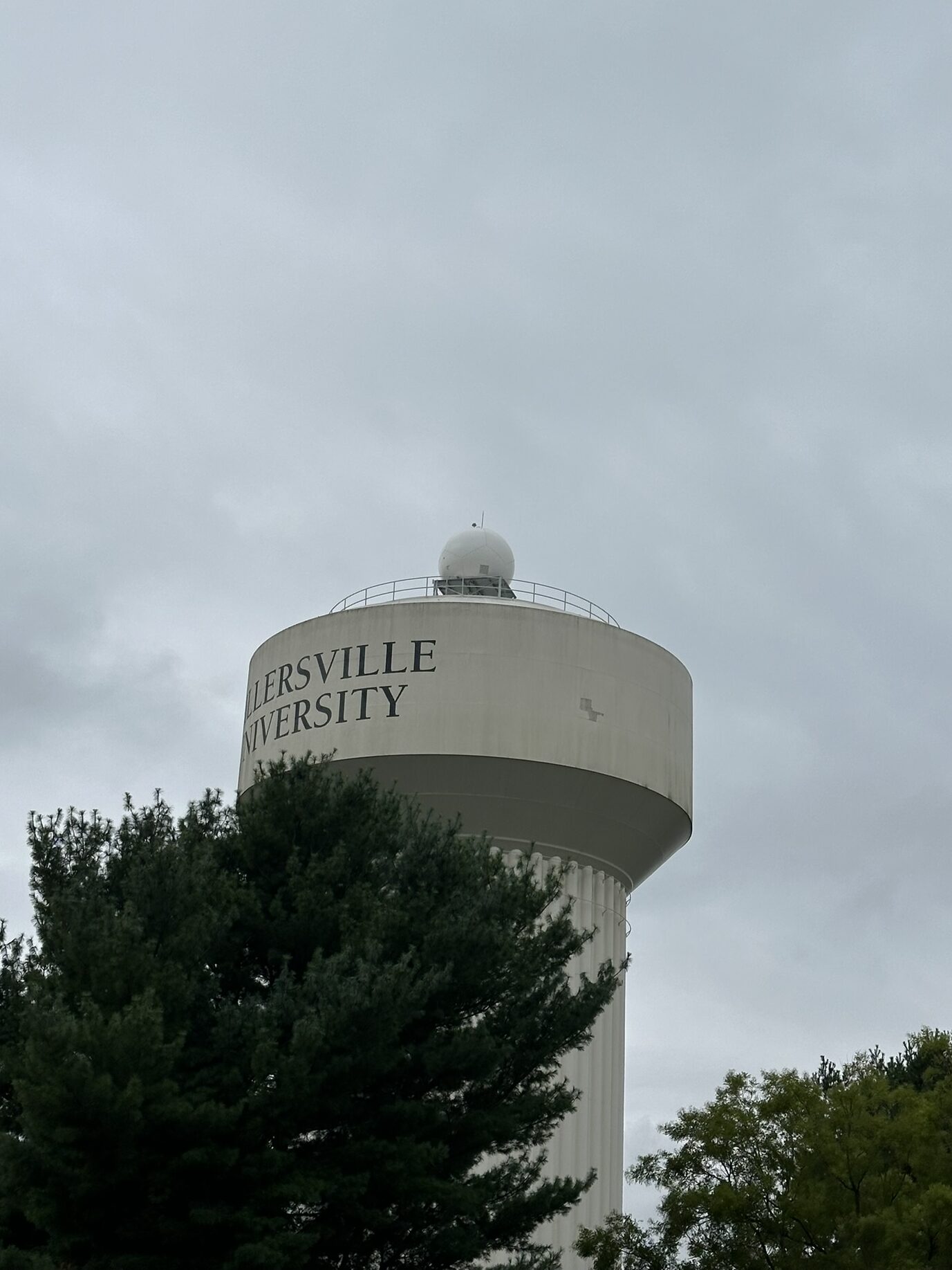
Climavision’s goal is to fill these radar gaps, and Millersville University has received one of these radars.
This will fill a major radar hole in the southeastern Pennsylvania region (Between KCCX, KLWX, KDIX, KBGM, and KDOX).
Getting the data
Currently, there are plans to integrate the radar data into the National Weather Service. Currently, this data is not available for public use. Students at the university however are able to use this data in classes, projects, and other data analysis.
Student’s cannot share data with others…sorry!
What’s the big deal about this radar?
These radars are actually way smaller than normal NWS radars. If you were to put them side by side, it would be quite the size difference. Climavision radars are installed to fill low level radar gaps, which are crucial for short term forecasting and warnings.
More information about the radar installation can be found here.
You can also find the University press release here.